
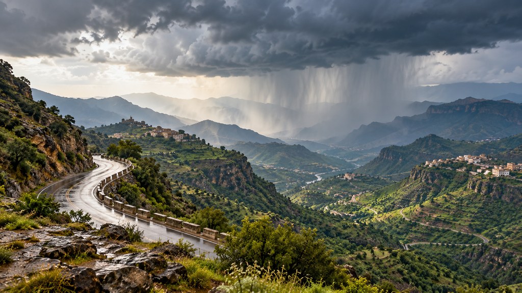
A broad forecast can tell you where to watch the sky, but it cannot tell you whether a particular road or neighborhood is safe at the moment you leave. On Tuesday, September 29, 2026, the Saudi National Center for Meteorology (NCM) forecast moderate to heavy thunderstorms in parts of Jazan, Aseer, Al-Baha and Makkah regions, and light to moderate rain in parts of Madinah region. Its daily report also mentioned possible fog in some of those areas and on parts of the Eastern Province coast. The forecast was reported by the Saudi Press Agency.
This article describes the September 29 daily forecast, reviewed on the evening of that date in Saudi time. It is not a live list of active warnings. Weather alerts can change by the hour and apply to specific governorates rather than an entire region. For current status, use the NCM’s early-warning map and its Anwaa app before setting out.
The regional picture at a glance
| Area | What the daily forecast says | Main consideration |
|---|---|---|
| Jazan | Moderate to heavy thunderstorms in parts of the region | Hail, gusty dusty winds and possible local flash flooding |
| Aseer | Moderate to heavy thunderstorms in parts | Visibility and changing conditions on mountain roads |
| Al-Baha | Moderate to heavy thunderstorms in parts | Rainfall can vary sharply between nearby locations |
| Makkah region | Moderate to heavy thunderstorms in parts | Check the named governorate in the live alert rather than assuming the entire region is affected |
| Madinah region | Light to moderate rain in parts | Changing visibility and road conditions near showers |
| Eastern Province coast | Fog possible in parts | Reduced visibility; this is not a region-wide rain forecast |
The repeated word parts matters. A regional outlook is not a promise that rain will fall in every city, and a dry street does not prove that conditions along a nearby valley or mountain route are equally calm. Use the table to decide which areas deserve attention, then read the latest location-specific alert for a travel decision.
Where is heavier rain expected?
The NCM’s report placed parts of Jazan, Aseer, Al-Baha and Makkah regions in the moderate-to-heavy thunderstorm category. It said showers could be accompanied by hail and active winds that stir dust. Heavier rain may cause torrents in vulnerable locations. These effects can arrive together: a driver may face poor visibility from dust just before intense rainfall changes the road surface.
Jazan includes coastal and mountainous terrain, so one regional label cannot describe every community. In Aseer and Al-Baha, mountain bends, steep gradients and valleys make visibility and runoff particularly important considerations. Makkah region likewise spans very different settings. A warning for one governorate should not automatically be read as a warning for all of Makkah city, Jeddah, Taif and the surrounding districts. Open the official alert and check its listed locations, phenomenon and validity period.
There is another reason not to judge a route solely by the weather immediately overhead. Rainfall upstream can send water through a normally dry channel some distance away. The Saudi Civil Defense rain-safety guidance advises people to avoid low-lying places, pooled water and the beds of valleys, and never to risk crossing a flowing wadi. A bright patch of sky above a crossing does not make moving water safe.
Madinah and the Eastern Province coast
The daily outlook described light to moderate rain in parts of Madinah region. This is a different intensity category from the forecast for parts of the southwest and Makkah region. It still calls for attention on exposed roads when a shower or wind changes visibility. A general daily forecast should not override a later local alert that names a specific area and period.
The report also said fog could form in parts of the rain-affected regions and along parts of the Eastern Province coast. Fog is primarily a visibility issue for drivers in this context. It does not mean the entire Eastern Province was forecast to receive rain. If visibility is reduced where you are, allow more distance between vehicles, adjust your speed to conditions and check the latest official bulletin before a longer journey.
Winds and sea conditions
The NCM’s September 29 marine outlook described northwesterly to northerly surface winds over the Red Sea at 20–40 km/h in one sector, with northwesterly to northeasterly winds at 10–30 km/h in another. Winds could exceed 50 km/h where rainy thunderclouds develop. Wave heights of roughly half a meter to one and a half meters could rise above two meters with those clouds, making the sea locally rough.
For the Arabian Gulf, the report listed northwesterly to northerly winds of 10–35 km/h, plus another wind pattern of 10–25 km/h that changes direction later in the day. Waves were forecast at about half a meter to one meter, with generally slight seas. These figures belong to the day’s broad marine report. Anyone planning a boat trip should obtain the latest marine bulletin and follow instructions at the departure point; conditions at a particular location or hour may differ.
Forecast versus active alert: what the colors mean
The NCM’s early-warning explainer describes a color-coded system. Yellow indicates a weather notice that deserves attention; orange is an advanced alert calling for caution; red is a warning for a more serious weather impact. Read the text alongside the color. It identifies whether the concern is rain, wind, dust, fog or another phenomenon, and when the alert applies.
The distinction is practical. A daily forecast maps the areas where weather may develop over the course of the day. An active alert identifies a more precise area, time window and level. Its color may rise or fall, and one governorate may remain under alert after another has cleared. This article deliberately does not assign a current color to any region: a static article cannot reliably maintain a live warning status. On the official warning map, choose your region and local area and check the time stamp before traveling.
A safer plan for a journey
Before departure, check your destination and the route between it and your starting point. A clear city forecast may be less relevant if the road crosses a valley or a higher, exposed section. Build in time to delay a nonessential trip if a warning covers the route. If you are going to an outdoor event, identify a sheltered alternative and follow instructions from its organizer.
When dust or rain reduces visibility, slow gradually and avoid sudden maneuvers. If the rain becomes too intense to see the road clearly, stop in a suitable safe place rather than pressing on. Do not drive into standing or flowing water at a low crossing. From inside a vehicle, it is difficult to assess the depth or speed of runoff. Keep children away from channels and pools of water even after rain has stopped nearby.
Civil Defense also advises following official safety instructions. Its rainfall guidance lists 911 for emergencies in Makkah, Madinah, Riyadh and the Eastern Province, and 998 in the rest of Saudi Arabia. These are emergency numbers, not routine weather-information lines. For ordinary planning, the NCM website and Anwaa app are the appropriate places to check conditions and alerts.
Three questions before you go
Is my exact locality covered? Search the named governorate in the live alert, not just the region. Makkah and Aseer, for example, encompass places with very different terrain and weather.
When does the alert start and end? A daily report provides the general picture. A local warning can apply for only a few hours. Recheck shortly before a long drive, especially if the route includes mountain roads.
Which hazard is listed? The issue may be heavy rainfall, hail, gusty dust, fog or runoff. Your route and timing should respond to the actual hazard rather than the word “rain” alone.
Frequently asked questions
Is rain expected across all of Saudi Arabia today? No. The September 29 report specified parts of Jazan, Aseer, Al-Baha, Makkah and Madinah regions. It also identified possible fog in some other locations. It did not say every city in those regions would receive rain.
Is there a red alert in Jazan right now? That cannot be established from the daily forecast alone. Warning levels change with the time and exact area. Check the NCM’s live warning map instead of relying on a dated screenshot or forwarded message.
Does “possible torrents” mean a flash flood is certain near my home? No. It describes a risk in affected areas, not an inevitable result at every address. The local outcome depends on where and how intensely rain falls and on the terrain. Flowing water in a wadi should still be treated as dangerous.
Where can I get updates? Use the National Center for Meteorology, its early-warning map and Anwaa app. Follow local authorities and Civil Defense for any instructions affecting travel or public safety.
The practical takeaway for September 29 is to watch parts of the southwest and Makkah region for the stronger thunderstorms, while treating Madinah’s lighter rain and possible coastal fog as distinct conditions. Make the final decision with a current local alert. For another SaudiWe local guide, see our International Saudi Falcons and Hunting Exhibition 2026 visitor guide.
Sources: Saudi Press Agency’s September 29 weather report; National Center for Meteorology; official early-warning map; Saudi Civil Defense rainfall safety advice. The cover is an illustrative generated image, not a photograph of a specific storm on this date.